Kasongo-Lunda on map
Kasongo-Lunda (Bandundu) , Democratic Republic of the Congo on map.
GPS coordinates: 6° 28' 42" South,
16° 49' 2.5" East.
» Time Zone, » Political map, » Natural map,
» Kasongo-Lunda on Night map & » Google map.
 Time
TimeKasongo-Lunda on timezone map:
Time Zone: GMT+01:00 = WAT


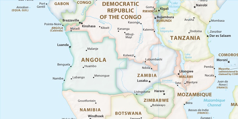
Democratic Republic of the Congo, Kasongo-Lunda Political map

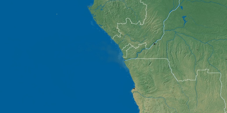
Natural map
Latitude Longitude: -6.47833, 16.81735

Kasongo-Lunda
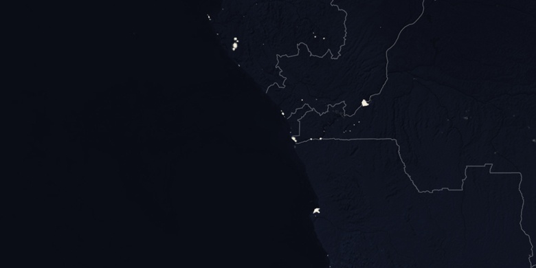
Kasongo-Lunda on Night map