Kalemie on map
Kalemie (Katanga) , Democratic Republic of the Congo on map.
GPS coordinates: 5° 56' 51" South,
29° 11' 41" East.
» Time Zone, » Political map, » Natural map,
» Kalemie on Night map & » Google map.
 Time
TimeKalemie on timezone map:
Time Zone: GMT+02:00 = CAT


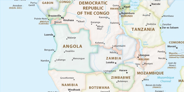
Democratic Republic of the Congo, Kalemie Political map

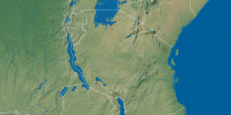
Natural map
Latitude Longitude: -5.94749, 29.19471

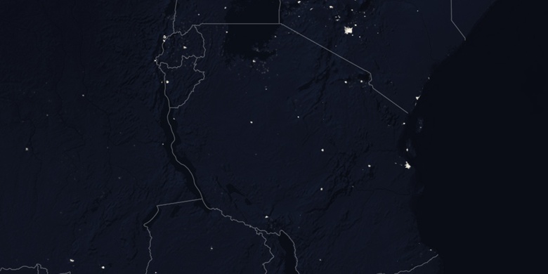
Kalemie
Kalemie on Night map