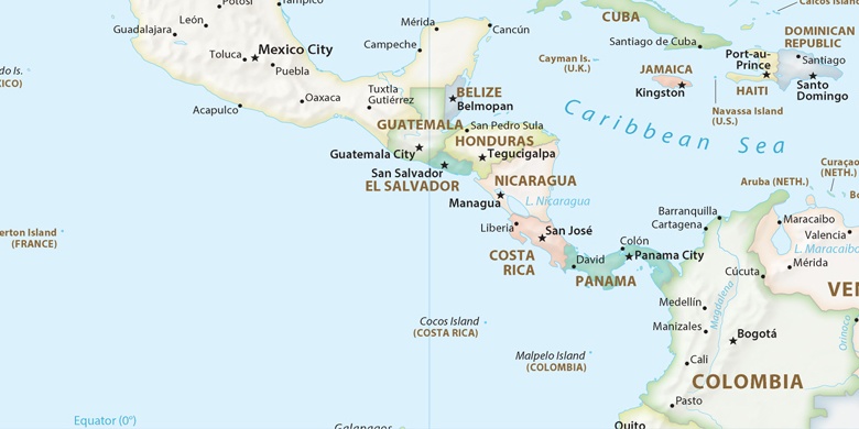
 San Andrés on map
San Andrés (Archipiélago de San Andrés, Providencia y Santa Catalina
) , Colombia on map.
GPS coordinates: 12° 35' 5" North,
81° 42' 2" West.
» Time Zone, » Political map, » Natural map,
» San Andrés on Night map & » Google map.
 Time
TimeSan Andrés on timezone map:
Time Zone: GMT-05:00 = -05


Colombia, San Andrés Political map

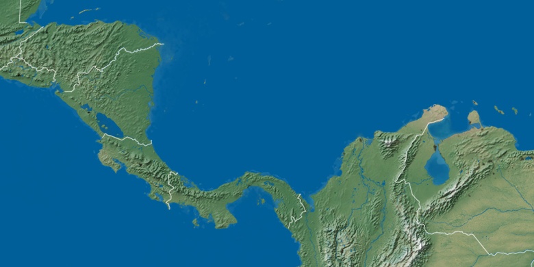
Natural map
Latitude Longitude: 12.58472, -81.70056

San Andrés
San Andrés on Night map

