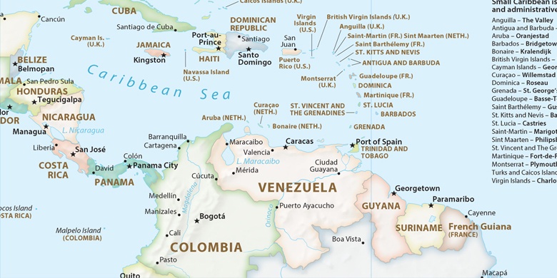
Puerto Santander on map
Puerto Santander (Norte de Santander
) , Colombia on map.
GPS coordinates: 8° 21' 49" North,
72° 24' 22.7" West.
» Time Zone, » Political map, » Natural map,
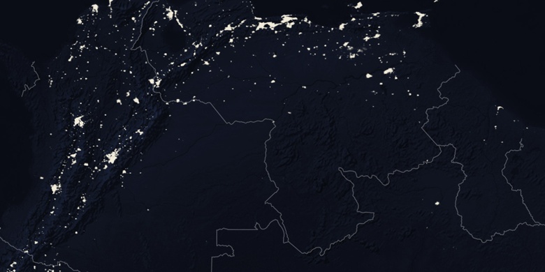
» Puerto Santander on Night map & » Google map.
 Time
TimePuerto Santander on timezone map:
Time Zone: GMT-05:00 = -05


Colombia, Puerto Santander Political map

Natural map
Latitude Longitude: 8.36361, -72.4063


Puerto Santander
Puerto Santander on Night map