Stafford Heights on map
Stafford Heights (Queensland) , Australia on map.
GPS coordinates: 27° 23' 36.7" South,
153° 0' 37.8" East.
» Time Zone, » Political map, » Natural map,
» Stafford Heights on Night map & » Google map.
 Time
TimeStafford Heights on timezone map:
Time Zone: GMT+10:00 = AEST


Australia, Stafford Heights Political map


Natural map
Latitude Longitude: -27.39354, 153.0105
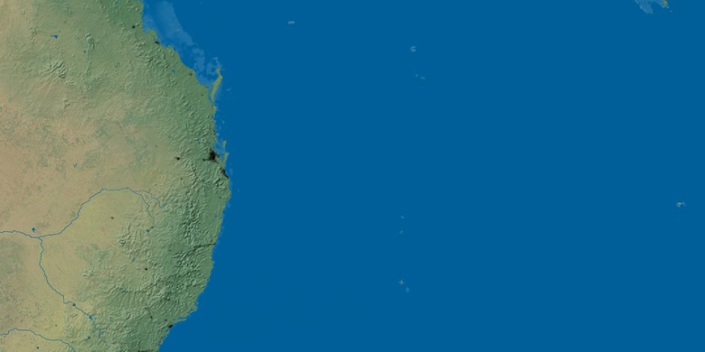

Stafford Heights
Stafford Heights on Night map