Rowville on map
Rowville (Victoria) , Australia on map.
GPS coordinates: 37° 55' 60" South,
145° 13' 60" East.
» Time Zone, » Political map, » Natural map,
» Rowville on Night map & » Google map.
 Time
TimeRowville on timezone map:
Time Zone: GMT+10:00 = AEST


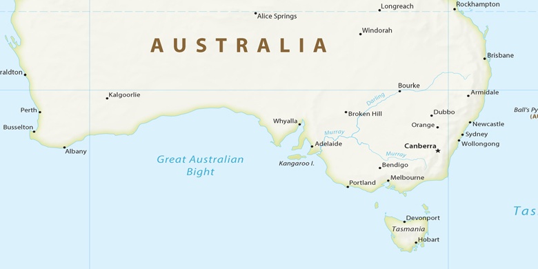
Australia, Rowville Political map

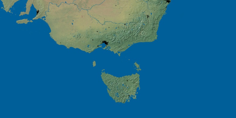
Natural map
Latitude Longitude: -37.93333, 145.23333

Rowville
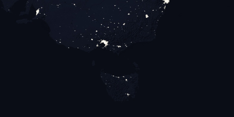
Rowville on Night map