Bolands on map
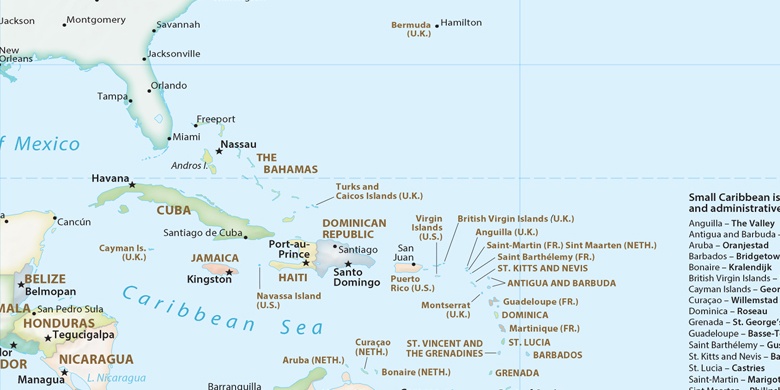
Bolands (Saint Mary) , Antigua and Barbuda on map.
GPS coordinates: 17° 3' 56.3" North,
61° 52' 28.8" West.
» Time Zone, » Political map, » Natural map,
» Bolands on Night map & » Google map.
 Time
TimeBolands on timezone map:
Time Zone: GMT-04:00 = AST


Antigua and Barbuda, Bolands Political map

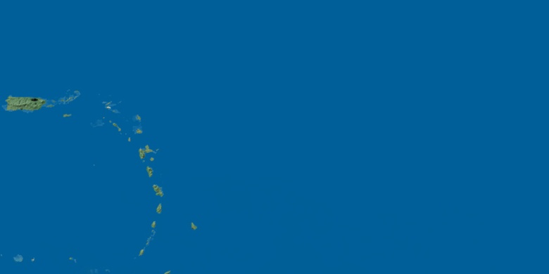
Natural map
Latitude Longitude: 17.06565, -61.87466

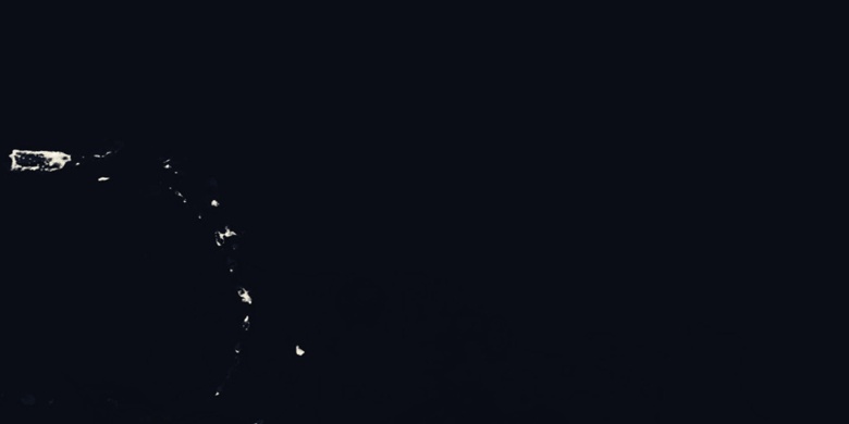
Bolands
Bolands on Night map