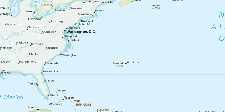
 Whiteville on map
Whiteville (North Carolina) , United States on map.
GPS coordinates: 34° 20' 19.6" North,
78° 42' 11.1" West.
» Time Zone, » Political map, » Natural map,
» Whiteville on Night map & » Google map.
 Time
TimeWhiteville on timezone map:
Time Zone: GMT-04:00 = EDT (±1 DST)


United States, Whiteville Political map

Natural map
Latitude Longitude: 34.33878, -78.70307


Whiteville
Whiteville on Night map

