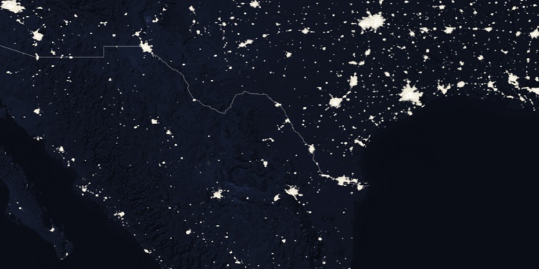
Mila Doce on map
Mila Doce (Texas) , United States on map.
GPS coordinates: 26° 13' 34.2" North,
97° 57' 32" West.
» Time Zone, » Political map, » Natural map,
» Mila Doce on Night map & » Google map.
 Time
TimeMila Doce on timezone map:
Time Zone: GMT-05:00 = CDT (±1 DST)


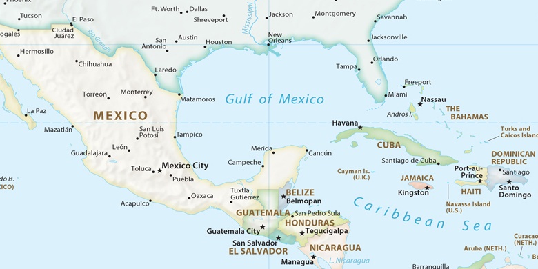
United States, Mila Doce Political map

Natural map
Latitude Longitude: 26.22618, -97.95889
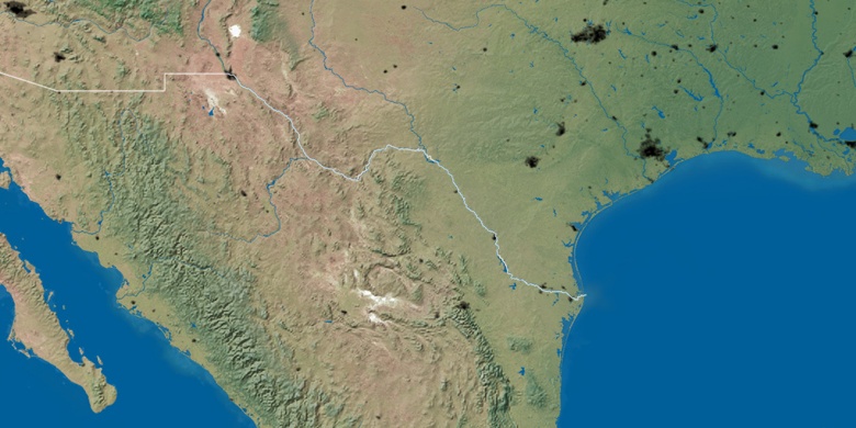

Mila Doce
Mila Doce on Night map