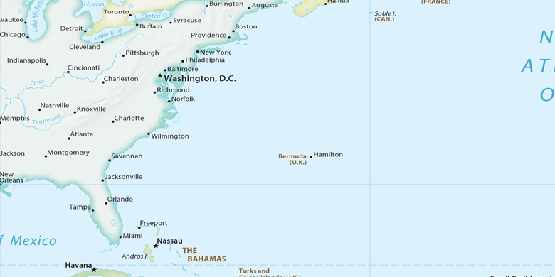
Lowes Island on map
Lowes Island (Virginia) , United States on map.
GPS coordinates: 39° 3' 35.4" North,
77° 21' 8" West.
» Time Zone, » Political map, » Natural map,
» Lowes Island on Night map & » Google map.
 Time
TimeLowes Island on timezone map:
Time Zone: GMT-04:00 = EDT (±1 DST)


United States, Lowes Island Political map

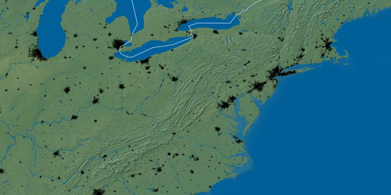
Natural map
Latitude Longitude: 39.05983, -77.35221

Lowes Island
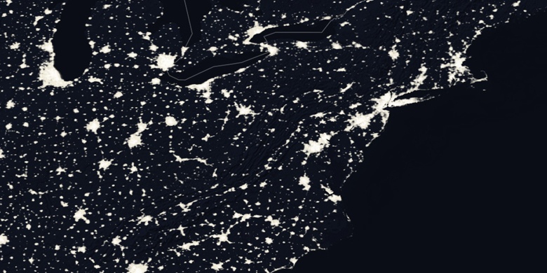
Lowes Island on Night map