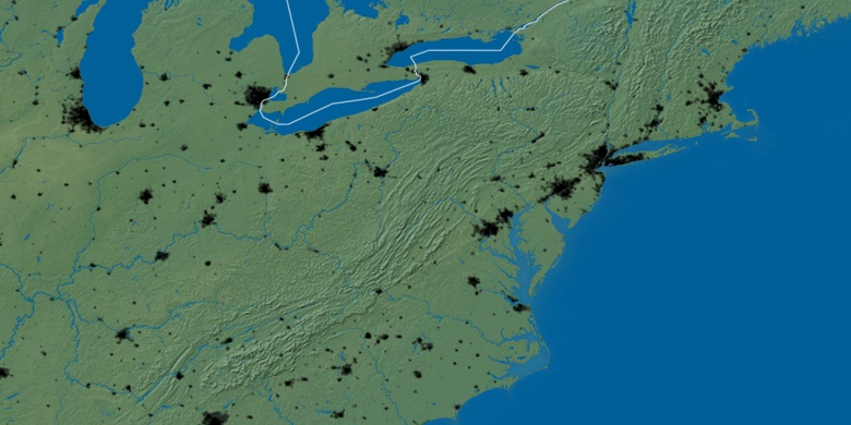
Ironville on map
Ironville (Kentucky) , United States on map.
GPS coordinates: 38° 27' 23.3" North,
82° 41' 32.6" West.
» Time Zone, » Political map, » Natural map,
» Ironville on Night map & » Google map.
 Time
TimeIronville on timezone map:
Time Zone: GMT-04:00 = EDT (±1 DST)


United States, Ironville Political map


Natural map
Latitude Longitude: 38.45647, -82.69238

Ironville
Ironville on Night map