Independence on map
Independence (Kansas) , United States on map.
GPS coordinates: 37° 13' 27.3" North,
95° 42' 29.9" West.
» Time Zone, » Political map, » Natural map,
» Independence on Night map & » Google map.
 Time
TimeIndependence on timezone map:
Time Zone: GMT-05:00 = CDT (±1 DST)


United States, Independence Political map


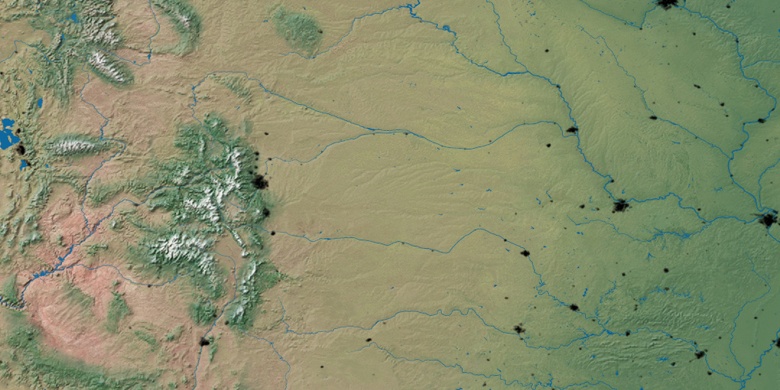
Natural map
Latitude Longitude: 37.22424, -95.70831

Independence
Independence on Night map