Caruthersville on map
Caruthersville (Missouri) , United States on map.
GPS coordinates: 36° 11' 35.2" North,
89° 39' 20.3" West.
» Time Zone, » Political map, » Natural map,
» Caruthersville on Night map & » Google map.
 Time
TimeCaruthersville on timezone map:
Time Zone: GMT-05:00 = CDT (±1 DST)


United States, Caruthersville Political map


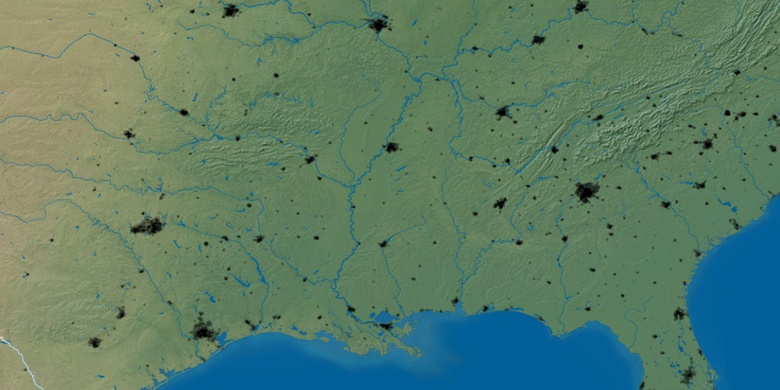
Natural map
Latitude Longitude: 36.19312, -89.65564

Caruthersville
Caruthersville on Night map