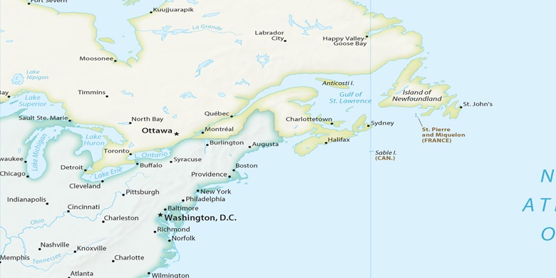
Bel Air on map
Bel Air (Maryland) , United States on map.
GPS coordinates: 39° 32' 9.4" North,
76° 20' 53.8" West.
» Time Zone, » Political map, » Natural map,
» Bel Air on Night map & » Google map.
 Time
TimeBel Air on timezone map:
Time Zone: GMT-04:00 = EDT (±1 DST)


United States, Bel Air Political map

Natural map
Latitude Longitude: 39.53594, -76.34829

Bel Air
Bel Air on Night map