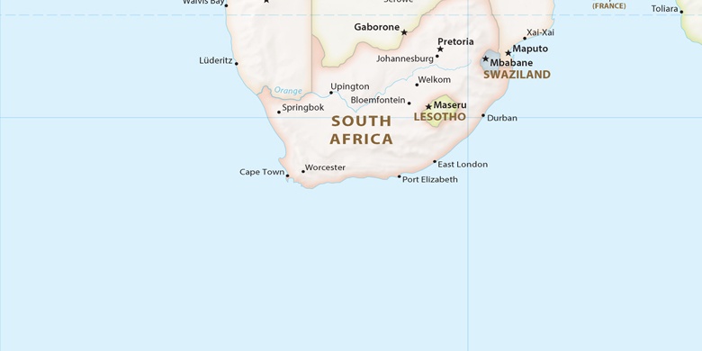
 Jeffrey’s Bay on map
Jeffrey’s Bay (Eastern Cape) , South Africa on map.
GPS coordinates: 34° 3' 2.3" South,
24° 55' 10.2" East.
» Time Zone, » Political map, » Natural map,
» Jeffrey’s Bay on Night map & » Google map.
 Time
TimeJeffrey’s Bay on timezone map:
Time Zone: GMT+02:00 = SAST


South Africa, Jeffrey’s Bay Political map

Natural map
Latitude Longitude: -34.05065, 24.9195


Jeffrey’s Bay
Jeffrey’s Bay on Night map

