San Andres on map
San Andres (Calabarzon) , Philippines on map.
GPS coordinates: 13° 19' 21.7" North,
122° 40' 40.4" East.
» Time Zone, » Political map, » Natural map,
» San Andres on Night map & » Google map.
 Time
TimeSan Andres on timezone map:
Time Zone: GMT+08:00 = PST


Philippines, San Andres Political map


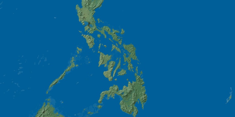
Natural map
Latitude Longitude: 13.3227, 122.6779

San Andres
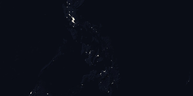
San Andres on Night map