Clausthal-Zellerfeld on map
Clausthal-Zellerfeld (Lower Saxony) , Germany on map.
GPS coordinates: 51° 48' 34.2" North,
10° 20' 17.6" East.
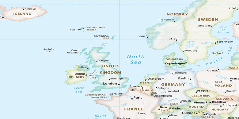
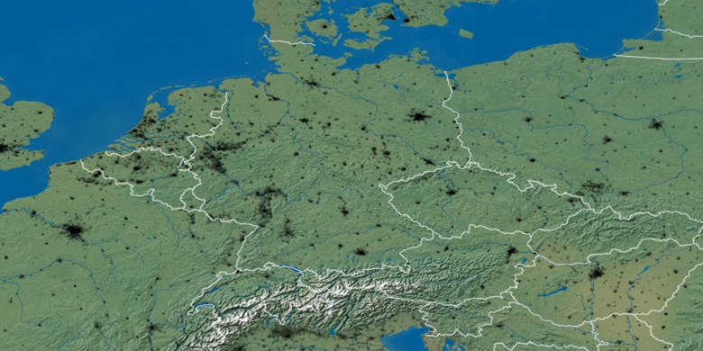
» Time Zone, » Political map, » Natural map,
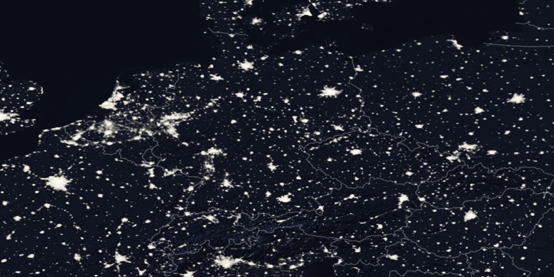
» Clausthal-Zellerfeld on Night map & » Google map.
 Time
TimeClausthal-Zellerfeld on timezone map:
Time Zone: GMT+02:00 = CEST (±1 DST)


Germany, Clausthal-Zellerfeld Political map

Natural map
Latitude Longitude: 51.80949, 10.33821

Clausthal-Zellerfeld
Clausthal-Zellerfeld on Night map